Severe storms tonight, Friday to bring cool temperatures
Published 10:56 am Thursday, September 7, 2023
|
Getting your Trinity Audio player ready...
|
FARMVILLE – The good news is that temperatures will drop across the region by this weekend. The bad news is that we may have to go through a series of storms for that to happen.
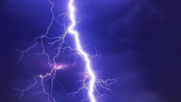
According to the National Weather Service station in Wakefield, the end of this week could see some showers and severe thunderstorms leading into the weekend. According to Alex Butner at the National Weather Service, the Farmville area looks to be at a marginal risk for these storms.
These storms are coming as central and southeastern Virginia have experienced extreme temperatures in the 90s and a heat index in the 100s, creating a hot Labor Day weekend. Now, a cold front is heading this way bringing cooler temperatures along with some wind and rain.
“Both days are at a marginal risk of storms in the afternoon and early evening,” said Butner. “There will probably be more scattered and isolated showers and storms with the main threat being the potential for strong wind gusts.”
For Thursday, Sept. 7, and Friday, Sept. 8, residents can expect to see some isolated showers and thunderstorms in the afternoon and into the evenings. These storms are expected to pop up around 2 to 3 p.m. in the afternoon and then after sunset.
These storms are mostly expected to bring high wind gusts and heavy rainfall. Make sure to look and make sure there is nothing in your yard or on your porch that could blow away or cause damage in case these strong winds show up.
On the bright side, after these storms, the weather will be cooler and closer to what occurs this time of year. Wednesday and Thursday are expected to be the last of the really hot days as the weekend and into next week is expected to see temperatures in the low 80s and high 70s.