Places to see fall foliage
Published 3:53 pm Thursday, September 17, 2020
|
Getting your Trinity Audio player ready...
|
Story by Titus Mohler
Photos submitted
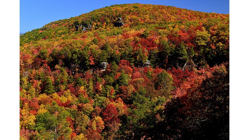
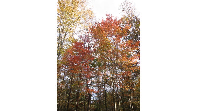
Nature in Virginia offers much to look forward to each fall as the leaves change colors, revealing a beautiful spectrum for the eye to behold. Much about 2020 has been different from the norm, but this turn in color will remain the same.
The exact timetable for when the colors of leaves change can shift by a couple weeks depending on several variables, but it will still happen.
Ellen Powell, with the Virginia Department of Forestry (DOF), highlighted a place where the leaves tend to turn first — Mount Rogers, the highest mountain area in Virginia. The summit straddles the border of Grayson and Smyth counties, located to the west of central Virginia.
“That area is nice,” she said. “Because it’s so high up, it turns really early. By the end of September, it’s really looking fabulous, whereas the rest of the state is behind that.
“So mid-October is usually good for most of our mountain areas, but that can vary by as much as two weeks in any given year depending on rainfall and how the summer was,” she continued. “If you have a hot-dry summer, (leaves) are going to just go straight to yellow and brown pretty quickly.”
She stated that if Virginia happens to have the right combination of fall that lingers and has cool nights and sunny days, it is going to have really nice foliage, so it is quite variable.
“But around mid-October is what we say for the mountains, and then later October for central Virginia,” she said.
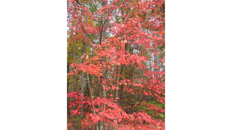
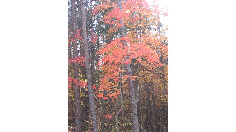
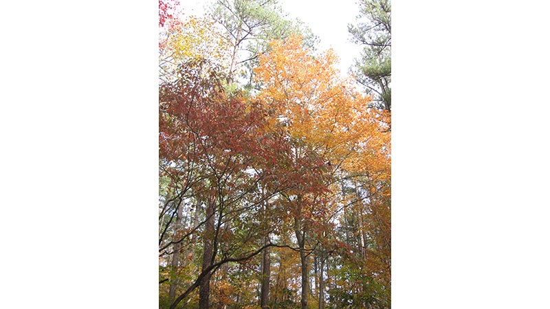
The DOF website has a table highlighting Virginia trees and the corresponding fall leaf color associated with them. Leaves on ash trees turn yellow and maroon in the fall; beech tree fall leaves are yellow to orange; dogwood tree fall leaves are scarlet to purple; hickory tree fall leaves are golden bronze; oak tree fall leaves are red, brown or russet; poplar tree fall leaves are golden yellow; and red maple tree fall leaves are brilliant scarlet.
“Around Farmville you will not see sugar maple and yellow birch because those are really high-mountain species, but people will see red maples, hickories, so that’s a nice red-yellow contrast, and they’ll see a lot of oaks into early November,” Powell said.
She stated oaks turn later, so they have a deeper sort of jewel tone, like a ruby red or topaz or kind of like a golden yellow rather than a bright, bright yellow.
Powell and some of her DOF colleagues recommended some areas and routes in Virginia where people can see some picturesque fall foliage.
“So we have three state forests right there in (the) central Virginia area within probably 30 minutes of Farmville for all of them,” Powell said.
She was referring to Cumberland State Forest, Prince Edward-Gallion State Forest and Appomattox-Buckingham State Forest.
“So that would be a good place to send people where they can get big chunks of contiguous forested land that they can drive through forest roads,” she said. “You don’t have the topography there that you’d have in the mountain areas where you can see for miles and miles down the mountain and up the next one, but for just driving roads, driving through the state forest is really nice.”
The DOF website stated the Cumberland State Forest covers 16,233 acres. It has 24.8 miles of vehicle roads, 74.8 miles of gated vehicle trails and 30.5 miles of walking trails.
Cumberland State Forest Manager Shannon Lewis said some years the maples are beautiful there, and some years the oaks are.
“There’s a lot of places to go around and look and explore,” he said. “Cumberland actually has four ponds or lakes on it, so each one of those is kind of a nice view — fall colors and the water combined.”
Cumberland State Forest is located at 751 Oak Hill Road in Cumberland.
The Prince Edward-Gallion State Forest covers 6,496 acres, according to the DOF website. It has 11.9 miles of vehicle roads, 28 miles of gated vehicle trails and 8.4 miles of walking trails.
The DOF stated this forest is located 15 miles southeast of Farmville and five miles southeast of Burkeville along state routes 696 and 613.
The Appomattox-Buckingham State Forest has 22 miles of vehicle roads, 92.5 miles of gated vehicle trails and 20.4 miles of walking trails, according to the DOF.
“So anybody can go drive on 22 miles of state forest roads going through the forest,” Lewis said. “There’s actually quite a few people that just kind of get out and cruise around.”
There are some ideal sites and routes for viewing fall foliage outside the immediate area and around the state that DOF officials highlighted as well.
“I think Blue Ridge Parkway around Roanoke is always good,” Powell said. “If people are getting on that parkway in that area, they’re going to see nice foliage.”
Dennis McCarthy, area forester with the DOF on the Blue Ridge Team, outlined drives that take someone from Farmville to the Blue Ridge Parkway.
“There are great scenic drives from there that take you through great communities while also giving you the elevational changes needed to guarantee great color regardless of the day you choose to make a trip,” he said.
Route 60 through Amherst and into Buena Vista, he stated, next adding U.S. 460 to U.S. 501 to Glasgow, and U.S. 460 to Bedford and up to the Peaks of Otter on Route 43.
“All of these drives give you access to the Blue Ridge Parkway, but most importantly, give one access to changes in elevation, and both sides of the range, so that all of the various changes in color can be observed,” he said. “No one spot can match the potential of a short drive up to and along the parkway. From any one of those destinations, one could venture farther west, across the lower Shenandoah Valley and into the valley and ridge and Appalachian Plateau regions for even more opportunity.”
Joseph Lehnen, also of the DOF, pointed to a fall foliage viewing opportunity called the Massanutten Storybook Trail, a few miles east of New Market in northern Virginia.
He said that from New Market, travel east on U.S. Route 211 to the top of the Massanutten Mountain. Turn left on Crisman Hollow Road. Travel approximately 1.4 miles. The Massanutten Storybook Trail parking lot and trailhead will be on the right.
“This is a short, well-maintained trail, (Americans with Disabilities Act) compliant, with a wonderful overlook platform at the end of the trail with beautiful vistas of the Page Valley,” Lehnen said.


